|
|
Holding Information
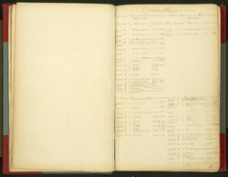
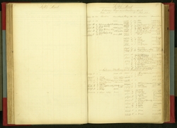
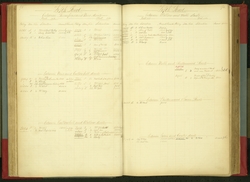
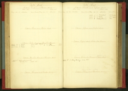
Document Title/Building Name/Type: Street Register
Item dates:
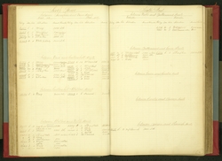
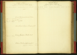
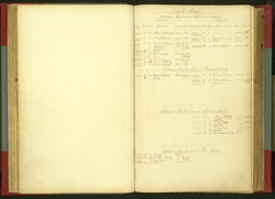
The "Street Register" was begun in the early 19th century to enable the Contributionship staff to more readily find insured properties by location. Streets are listed as they appeared on the city plan, first east to west from Delaware Avenue to Schuylkill Front (22nd Street) and then north from High (Market Street) and south. Smaller streets and alleys are listed alphabetically after these initial sections. Within each street, blocks are delineated, so that one searching for a house in the 200 block of Spruce Street would first look for Spruce and then the block between and Second and Third Streets. Insured properties are listed with the policy number, address (which is generally the old numbering system, updated if the policy remained in effect through the inauguration of the standardized numbering in 1856), rate and amount of insurance. "Country risks" as well as properties in Germantown and West Philadelphia are found towards the back as are newer streets.
|